
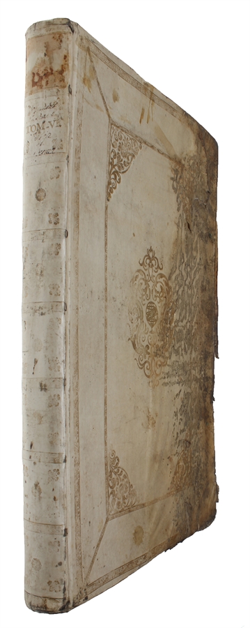

Amsterdam, Labore & Sumptibus, Johannis Blaeu, 1662.
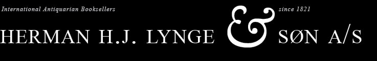
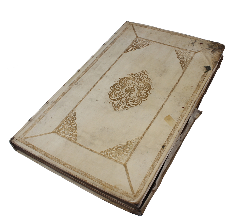
Large folio (350 x 545 mm). In publisher’s full vellum binding with central gilt arabesque and armillary sphere. All edges gilt. Boards with stains and marks. Half of front board heavily waterdamaged. Small stamps to front free end-paper, lower part of title-page and veso of title-page (The Royal Danish Geographical Society). First leaves with repairs in outer margin. Vague dampstain in lower outer margin affecting first 40 leaves, otherwise internally fine. Occassional light brownspotting throughout.
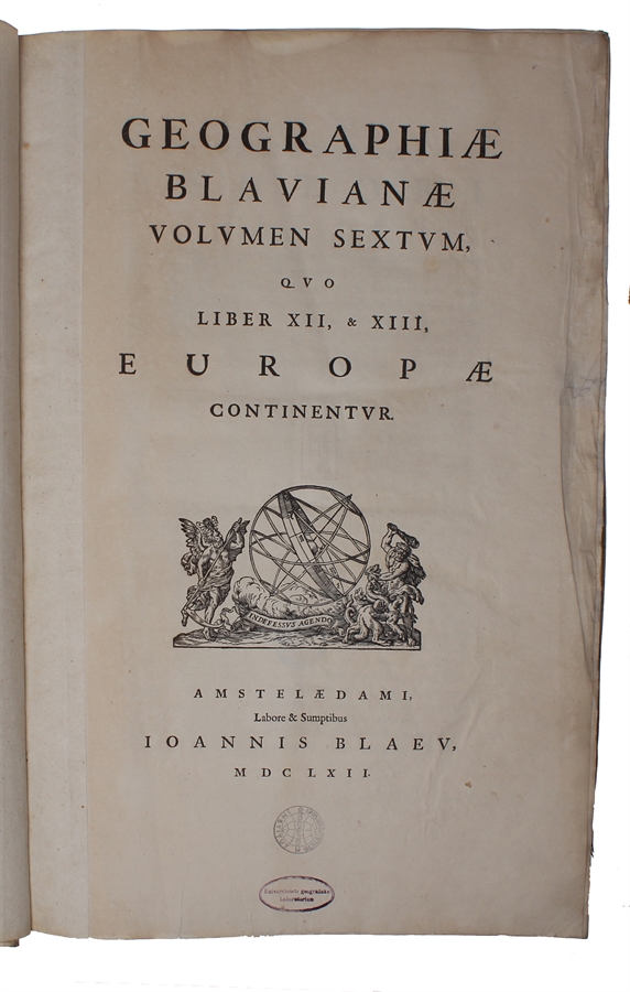
154, (2), 56, (1) + 55 engraved maps (wanting half title).
First edition of volume six, containing Scotland and Ireland, of Blaeu’s monumental Atlas Major, one of the most significant works of the 17th century widely considered to be one of the greatest atlases ever produced. It was the most expensive book that could be acquired in the mid-17th century. The Atlas Major was a significant achievement in the history of cartography and it represented a major step forward in the development of the modern atlas. The text was reset for this second Latin edition, by this time appearing as Volume VI (previously vol. V), but the only other plate changes were the addition of compass roses and ships on 28 map plates where they were originally lacking. The Atlas Major was notable for its high level of accuracy and detail. The maps were based on the latest geographical knowledge and featured state-of-the-art cartographic techniques, such as the use of latitudinal and longitudinal coordinates, and a sophisticated system of map projection. The maps were also notable for their beautiful engravings and illustrations, which were produced by some of the most talented artists of the time. The Atlas Maior was a major commercial success and it was widely used by scholars, navigators, and government officials. It was translated into several languages, and it became the standard reference work for cartography and geography during the 17th century.
Atlas Major was subsequently published with French, Dutch, German, and Spanish texts.
Order-nr.: 60290