
(THORNTON, JOHN).
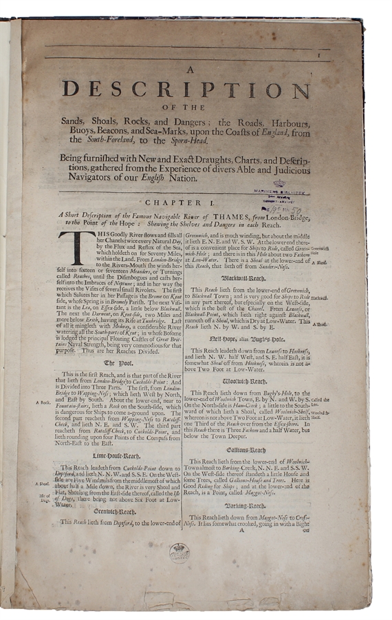
A Description of the Sands, Shoals, Rocks, and Dangers; the Roads, Harbours, Buoys, Beacons, and Sea-Marks, upon the Coasts of England, from the South-Foreland, to the Sporn Head.
(London, ca. 1740). Folio. (45,5 x 27,5 cm.). Later hcloth. Gilt lettering to upper board. Stamps on the first leaf. 16 pp. and 1 large folded engraved Sea-Chart, measuring 49 x 96,5 cm., made from joining of 2 sheets.: "A Chart of the Sands, Shoals, Buoys, Beacons, Sea Marks, Depths of Water, and Anchoridge. Upon the Coast of England. From the South Foreland, to Flambrough head. Bu John Thornton, Hydrographer... London." Lower margins of text with a bit of spotting and foxing. A few scattered brownspots. The map with mild toning and a few brownspots. Margins cut close. A small tear in one of the foldings 8no loss).
Probably a separately printed extract from one of the editions of "The English Pilot", by Seller, Thornton or Mount & Page, but the accompanying chart is much larger than the sizes of the maps in the different editions of the English Pilot.
Order-nr.: 56023
DKK 6.500,00