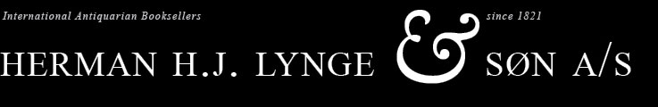
Leiden, Iodocus à Colster, 1617.
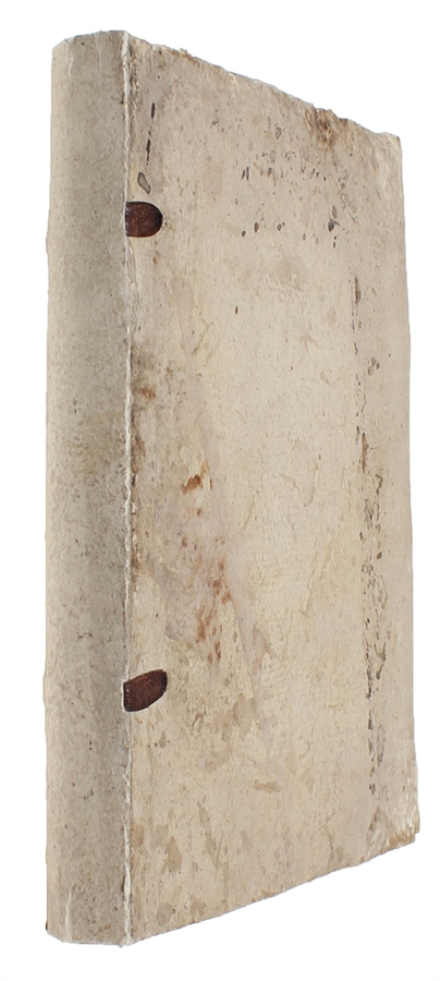
4to. Completely uncut, in the original interim boards, rebacked in matching paper and with leather cords. A bit of soiling to especially front board. Internally a nice, clean, fresh, and unrestored copy. (12), 263, (1) pp. Illustrated.
Very rare first edition of Snell's seminal magnum opus, in which he founded the modern systematic use of triangulation, thus also founding the modern art of map-making. It is due to his development of triangulation presented in the present work - a method that was used for accurate large-scale land surveying until the rise of global navigation satellite systems in the 1980'ies - that Snell "may rightfully be called the father of triangulation". (D.S.B.).
"Despite Cassini's tables for accurately predicting the motions of Jupiter's moons, which allowed very accurate time measurements to be made, the riddle of longitude still needed another vital piece of information. The size and form of the earth were still uncertain: only one scientific experiment had been conducted to measure its circumference, by Willebrord Snell (1580-1626), in the early years of the seventeenth century.
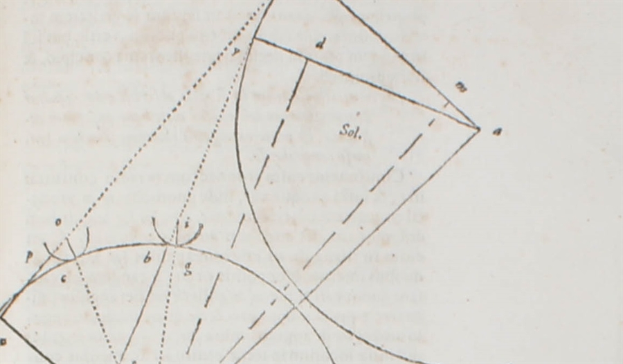
Snellius, as he is better known, was the son of a wealthy professor of mathematics at the University of Leiden in Holland, where young Snell himself studied law. But it was mathematics that intrigued him, and through his studies, he made considerable contributions to science. He is probably best remembered for the optical law of incidence and refraction named for him [which remained unpublished]. However, the most important of his works published in his lifetime was "Eratosthenes Batavus", and it revolutionized the science of earth measuring. In 1615, emulating the principles of Eratosthenes 1,900 years before, Snellius had measured the length of a meridian arc by using a chain of thirty-three triangles, observed from the tops of churches, across the fields and hedgerows of the flat Dutch landscape. He had then measured the latitude at the north and south end of his chain of triangles. By calculation, assuming the earth perfectly spherical (as did all philosophers in those days), Snellius worked out a diameter for the earth that was just 3.4 percent smaller than modern values.
Although not the first to use triangulation (that claim rightly belongs to Gemma Frisius 60 years earlier), Snell explicated the idea of measuring long distances over the ground by measuring the angles in a chain of triangles rather than by measuring the distance with a surveyor's chain. The method was also far more accurate and significantly speedier than physically measuring directly across the land. Snell's experiments, founded and aided by his patron, Baron Sterrenberg, demonstrated the accuracy of the method and proved conclusively that a framework of stations so developed could be used to control a mapping project." (Edwin Danson, Weighing the World: The Quest to Measure the Earth, pp. 21-22).
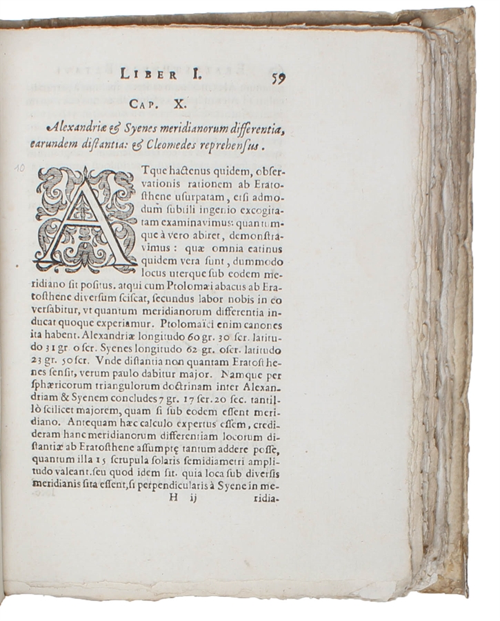
In 1615, Snell became deeply involved in the determination of the length of the meridian. For his purpose, he selected the method of triangulation that had been used suggested by Gemma Frisius ab. half a century earlier, but Snell developed the method to such an extend that it was able to - for the first time in history - fairly accurately measuring the size of the earth. "Snel developed it [i.e. triangulation] to such an extent that he may rightfully be called the father of triangulation" (DSB). Starting with his own house, he used the spires of town churches as points of reference and thus, through a net of 33 triangles, computed the distance from Alkmaar to Bergen-op-Zoom (ab. 110 kilometers). The two towns were separated by one degree on the meridian, so from his measurement he was able to calculate a value for the circumference of the earth. His groundbreaking measurements and method were published for the first time in his seminal ""Eratosthenes Batavus" (i.e. "The Dutch Eratosthenes") in 1617. Snell calculated how the planar formulae could be corrected to allow for the curvature of the earth. He also showed how to resection, or calculate, the position of a point inside a triangle using the angles cast between the vertices at the unknown point. These could be measured much more accurately than bearings of the vertices, which depended on a compass. This established the key idea of surveying a large-scale primary network of control points first, and then locating secondary subsidiary points later, within that primary network.
Apart from having discovered what is now know as "Snell's law", "Snell had also developed the method of determining distances by trigonometric triangulation and thus founded the modern art of mapmaking." (Asimov:79a).
Order-nr.: 50995