
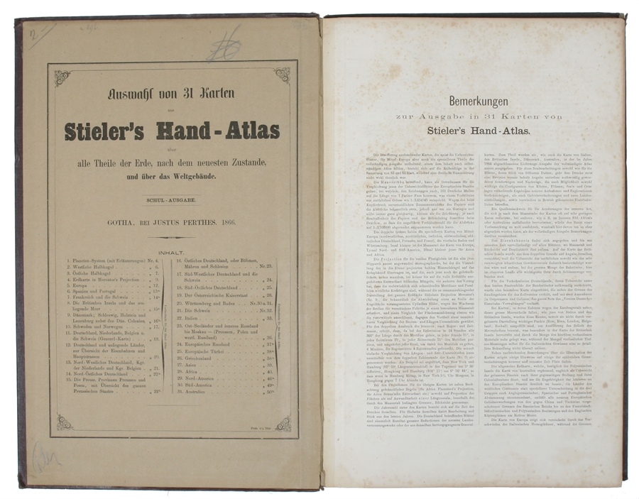
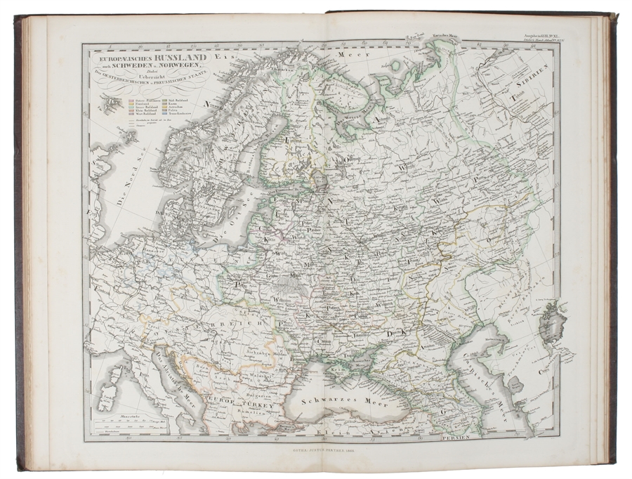
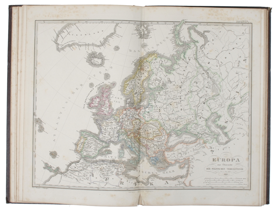
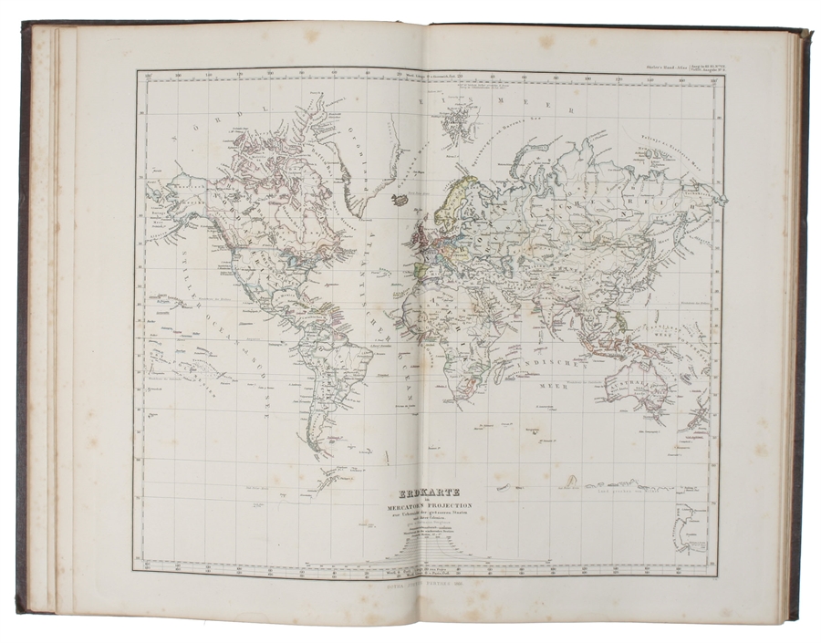
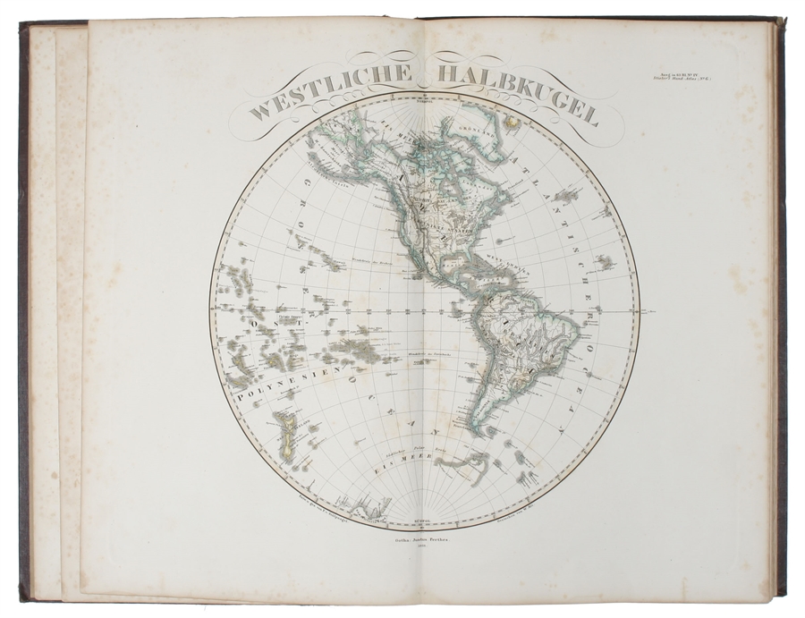
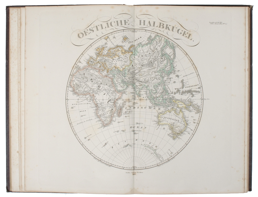
Gotha, Justus Perthes, 1866. Folio. (38x24,5 cm.). Orig. full cloth, blindstamped and with title on front board in gilt lettering. Spine ends worn and a tear to upper part of first hinge. The printed title pasted on inside of front cover from the publisher. (2) pp. and 31 steel-engraved double-page coloured maps. The first, Planeten-System lightly brownspotted, otherwise fine with a few marginal brownspots to margins.
With maps of all the Continents, Europe, The Hemispheres etc.
Order-nr.: 33700